

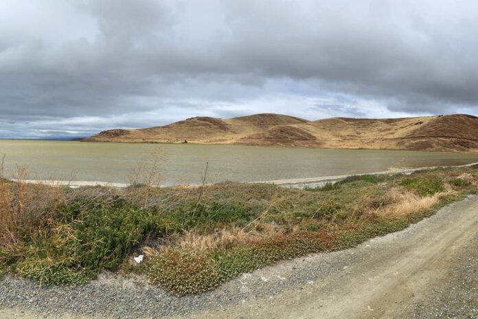
The City of Newark is continuing their plans to address sea level rise. The city council received a presentation about the synthesis report at the Oct. 22 city council meeting. The work on the possibility of sea level rise started in 2024, where the city started working with engineering firm Arup on a sea level rise vulnerability assessment.
The presentation showed maps of what Newark would look like with sea level rise (SLR) and how the city can prepare for it. There was a map that predicted a SLR of 0.8 feet by 2050 if no action is taken. The California Ocean Protection Council (OPC) says this scenario is 98% likely to happen. By 2100, there is a predicted 3.1 feet of SLR, called the mid-level SLR. In this scenario presented on a presentation slide, big storms would cause “extensive, damaging flooding.” The OPC said there is a 50 to 85% chance of it happening.
Levees are a possible solution to long-term SLR. “Through this early adaptation planning process, we are proposing a continuous line of shoreline defense as a practical organizing idea for thinking about adaptation along Newark’s shoreline,” said Arup engineer Meg Ackerson.
She continued, “And so the synthesis report is identifying kind of a continuous levee-based approach, particularly identifying areas, where we could use a more gently sloped—what’s known as an ecotone slope—where feasible, and it’s intended to be an incremental approach, adaptable over time, and allowing for those multiple benefits and habitat areas as an example.”
There are three possible locations for levee adaptations in Newark. One is on Thornton Avenue, with the goal of protecting neighborhoods and marshland with levees. This option would give the city more recreational space.
The Newark Slough between Mayhews Landing Road and Peachtree Avenue can become a levee system that would enhance stormwater management and create a linear park. The Southern Shoreline rail corridor would be an opportunity to collaborate with land owners Cargill and Union Pacific on levee solutions.
Ackerson said they are not recommending any of these options, and feedback from residents and city leaders is encouraged.
The next step is for the city to work on what’s called Regional Shoreline Adaptation Plan (RSAP). This process involves public feedback on what residents want to see in the city. The RSAP needs to be done by 2034.