Map (noun): A diagrammatic representation of an area of land or sea showing physical features, cities, roads, etc…
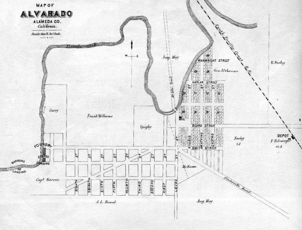
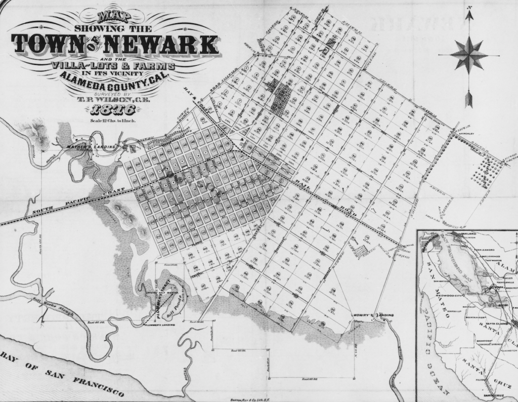
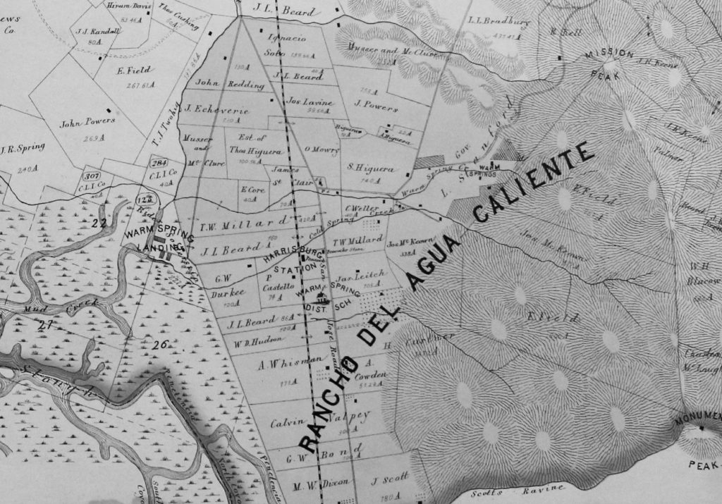
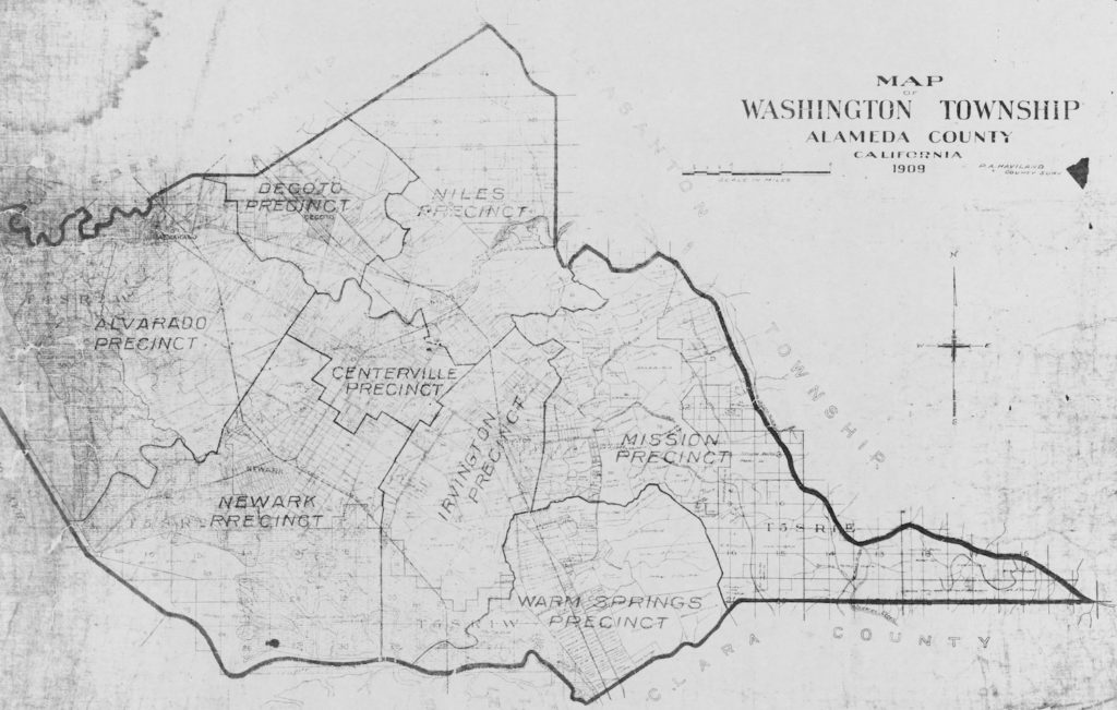
This map shows Alvarado (Union City) in 1878. All photos courtesy of the Washington Township Museum of Local HistoryThis map shows Newark in 1876. This map shows Warm Springs (in Fremont) in 1878.This map shows Washington Township—Fremont, Newark and Union City—in 1909.
Let’s explore local history through themes and photographs! Have a topic or idea you’d like us to explore? Email us at in**@******************ry.org.


