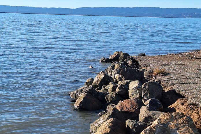
“Floods is the word they use, but in fact it is not flooding, it is remembering, remembering where it used to be. All water has a perfect memory and is forever trying to get back to where it was.”
This quote is from author Toni Morrison, and it’s what started a conversation about sea level rise at a workshop in the Bay Area.
Mycelium Youth Network (MYN), Greenbelt Alliance, and Save the Bay worked together to facilitate a sea level rise event called “Rise and Resist: Mapping the Future of Newark.” It took place on Jan. 18, 2025 at the Newark Library.
People of all ages attended the event, from children to elderly folks. More trickled into the room after a couple of library announcements about the event.
Greenbelt Alliance is a climate resiliency organization and Save the Bay works to protect communities and the environment from sea level rise.
The workshop covered sea level rise, Bay Area coastal history, mapping tools to predict ocean rising events, and solutions to the environmental phenomenon.
Ashia Ajani is the Climate Resilient Communities Coordinator of MYN and the main facilitator of the workshop. MYN is an Oakland-based nonprofit organization that prepares youth with resources, training and knowledge to survive climate change.
“When we talk about sea level rise, we think of it as a human driven event, and in a lot of ways it is, especially as we are experiencing it now. But sea level rise is also a naturally occurring endeavor,” Ajani said.
An audience member who looked about six or seven years old gave a definition of sea level rise. She said,“Like for the trees, if you cut them down more, the sun will impact the ground, so then it will get hot and then Antarctica will start to melt and then the sea level will go up.”
Sea level rise is a result of climate change causing the planet to heat up and mix with melting ice glaciers, causing ocean expansion.
Ajani also talked about the coastal history of the Bay Area. “The Bay formed during a period of rapid sea level rise, some 10,000 years ago.”
She also described a period of development from really green, mostly vegetation land to agricultural and industrial use from the 1800s to 2009 in the Bay Area.
Ajani shared a tool that is solely focused on the Bay Area and sea level predictions. Called the Bay Shoreline flood explorer, the map shows how transit, housing and bridges can be impacted by sea level rise. It can be found at explorer.adaptingtorisingtides.org/explorer.
The mapping tool showed that one foot of sea level rise and a storm surge over the next five years may cause a total of 36 inches of flooding in Newark.
The mapping tool also had an option for King Tides, the largest tides of the year, with recent ones happening in early January.
There are ways to take action in Newark when it comes to sea level rise. One way is to sign a petition, calling for the City of Newark and other governmental agencies to place permanent protections to Area 4. The area is 500 acres of unprotected and undeveloped land in Newark that’s a target for housing development, right next to Don Edwards San Francisco Bay National Wildlife Refuge.
Laura Walsh from Save the Bay said one of the top solutions is to restore and protect wetlands, something she said Area 4 can become. She explained the ecological makeup of wetlands is meant to absorb water and storm energy. “It’s a really great way to protect existing development from future flood threats,” she said.


